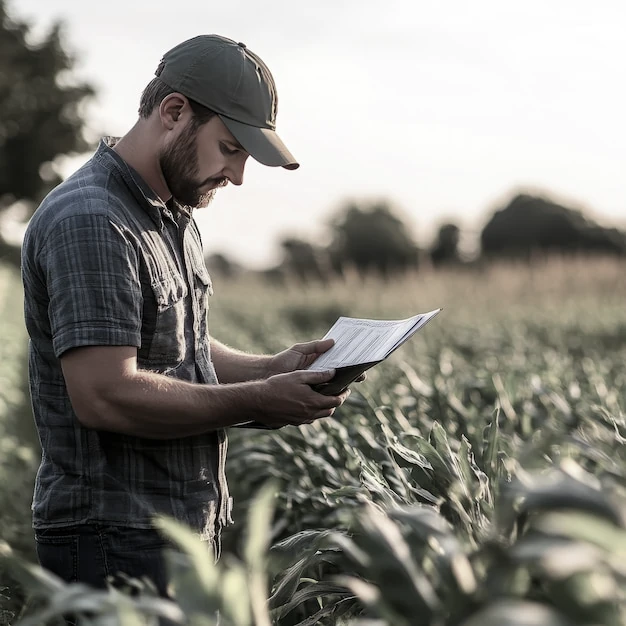
What you'll get

You’ll receive a detailed field analysis using satellite and radar imagery, matched to your exact locations and crop conditions, all powered by advanced agricultural AI.

The report includes insights on crop health, pests and diseases, irrigation, soil quality, and weather forecasts.

How it's done

We pull satellite images from top providers and run them through powerful AI. This connects the data to your exact field, crop type, and weather conditions to produce accurate results.

Get clear insights, track field changes, spot risks early, and make confident decisions.

FAQ

Free and valuable information and insights for your crop with no strings attached.

That's what we're providing you with.